 |
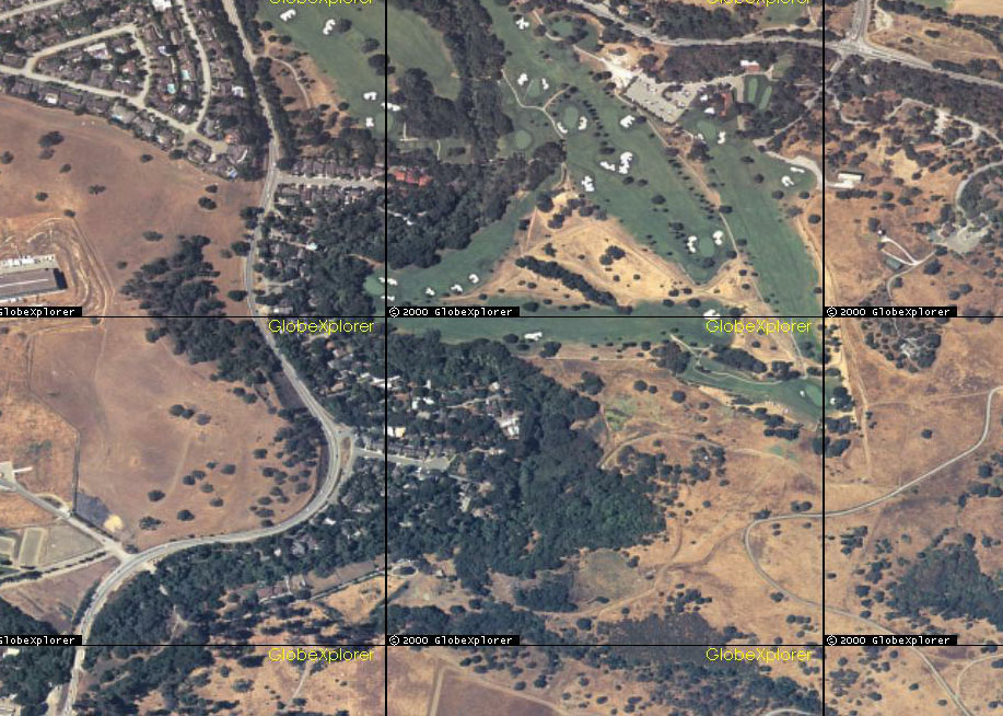
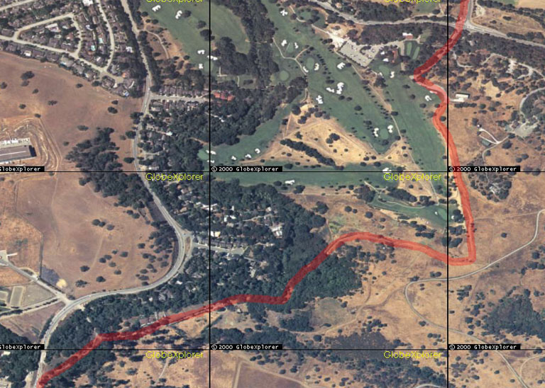
Aerial
view of trail segment. Possible route shown in red. Dirt
trail existed along this route as of mid-2000. Closed
to public access in September 2000.
Creek
in woods near center. Residential area in center left. Alpine
Road at left. Junipero Serra / Campus at top.
Click
for larger version.
|
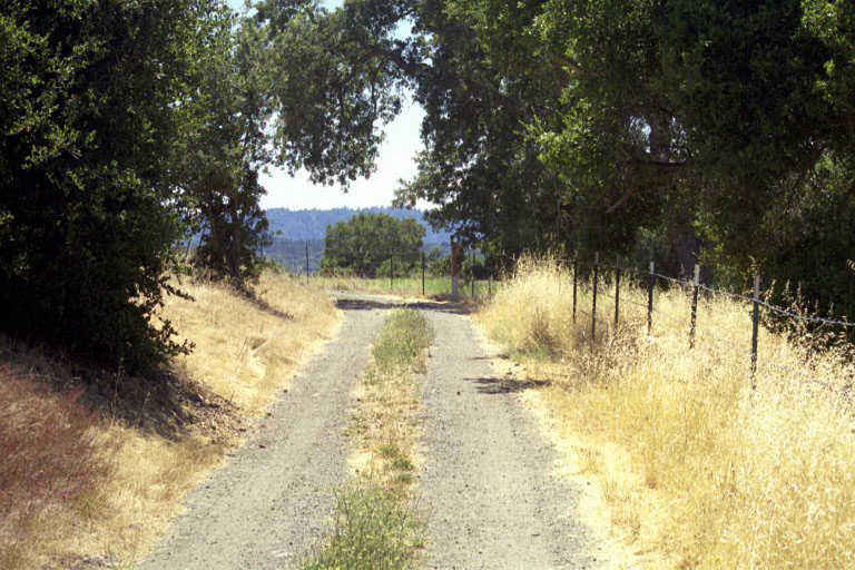 |
Dirt
service road adjacent to former trail.
Looking
south. Golf course on right.
|
| Ground pictures
for middle part of this segment unavailable at this time due
to Stanford access restrictions. |
|
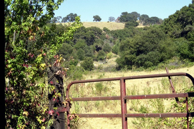 |
Looking
north from Piers Lane area. Former pasture, now disued. Possible
trail route.
Approximately
300' north of Stanford security gate, outside perimeter fence.
|
 |
Approximately
100' north of security gate. |
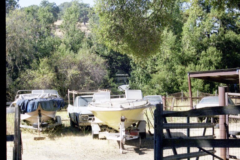 |
Yard of
agricultural lessee. Looking west from same location as above.
Creek in background. |
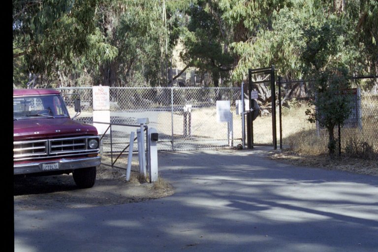 |
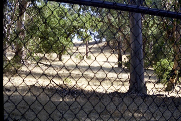
Stanford
security gate and guard station. Limited public use permitted
beyond this point. Area beyond fence is used for horse grazing. |
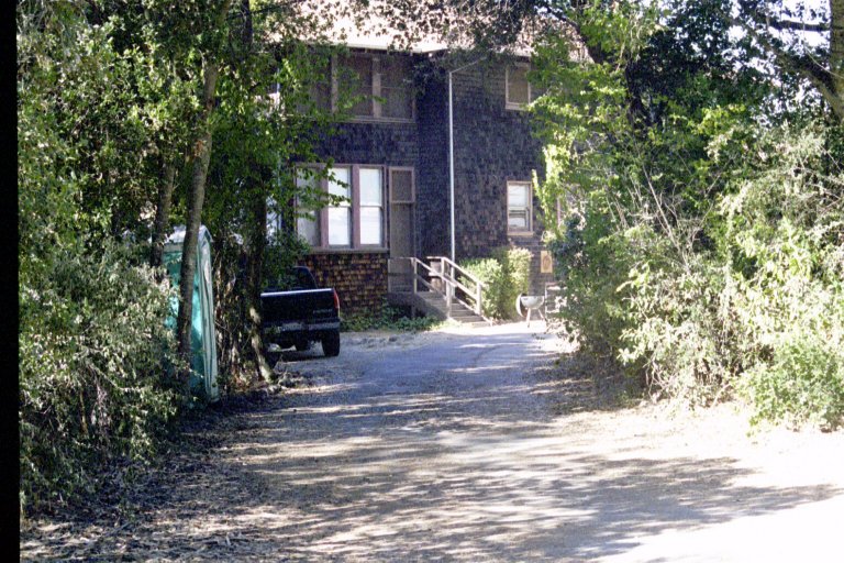 |
Believed
to be residence of agricultural lessee. About 50' north of security
gate, outside perimeter fence. Creek is to left. |
 |
Looking
south from same location as above. |
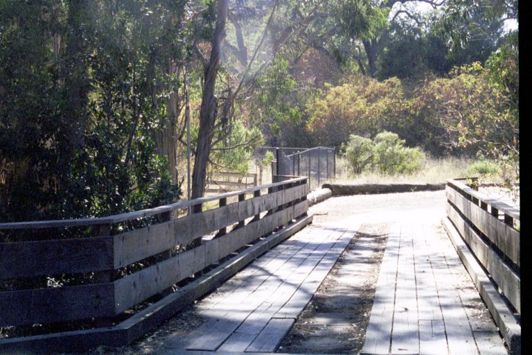 |
Bridge
across Los Trancos Creek. Trail to I-280 at left, past Stanford
perimeter fence. |
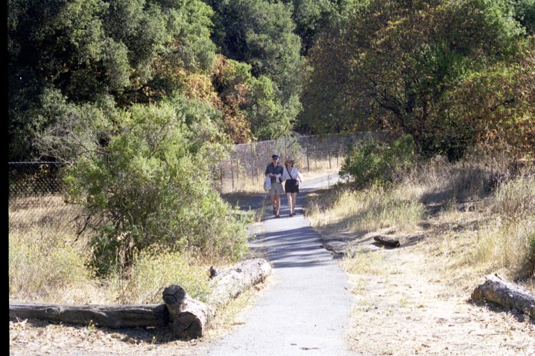 |
Beginning
of short segment of existing off-road public trail. About
300' west of security gate. Piers Road to rear.
Stanford
perimeter fence at left.
Looking
south.
|
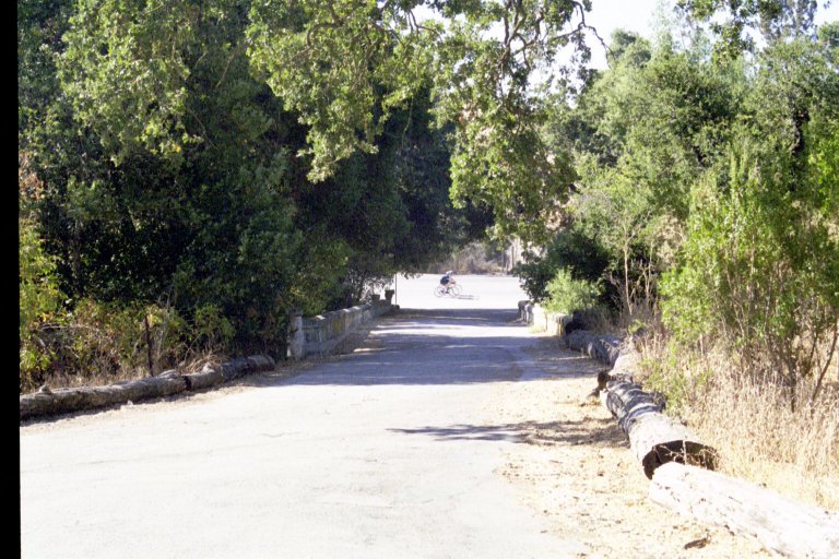 |
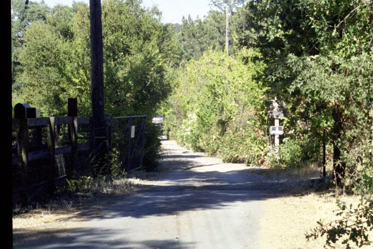
Piers
Lane bridge across San Francisquito Creek. Alpine Road in
background. Equestrian access from Portola Valley Training
Center.
Looking
west.
|
|
(More
pictures of this segment will be added shortly.)
|
|